Field: Technology
Hurricane warning maps are improving, but a dangerous problem remains.
Published | Technical Staff
Visualization
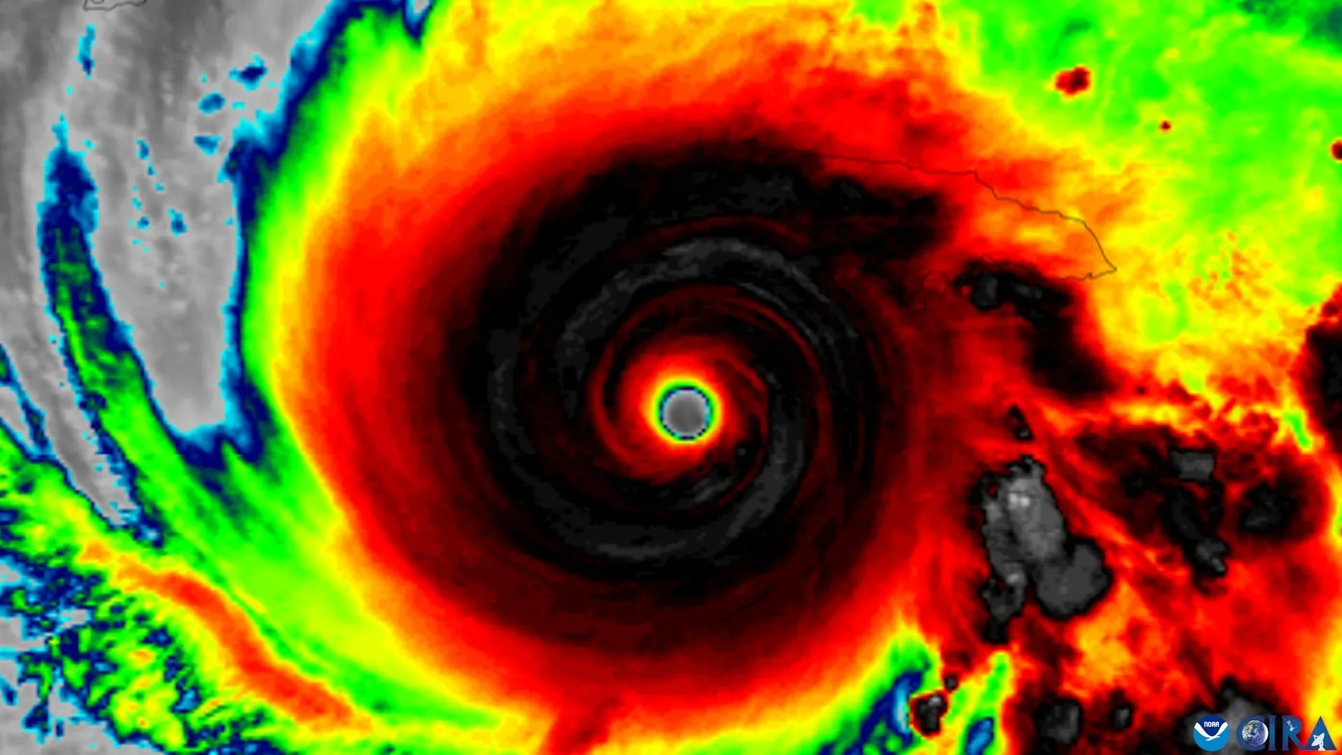
In an era where climate irregularities and escalating storm intensity demand precision in forecasting, a significant gap persists between enhanced meteorological graphics and public understanding of hurricane threats. The National Hurricane Center (NHC), which is tasked with disseminating vital hurricane-related information, has made substantial strides in the visualization of storm paths and hazards. Still, a recent study from Florida State University shines an illuminating yet troubling light on the efficacy of these advancements. This research reveals that while new hurricane forecast graphics may assist in identifying regions at risk, they do little to promote a genuine perception of imminent danger or encourage proactive protective measures among the population.
At the heart of the study lies an assessment conducted by faculty members from both the School of Communication and the Department of Geography at Florida State University. The analysis compared the standard cone graphic—an established icon of hurricane communication—with an experimental graphic that has expanded its focus to include inland areas potentially affected by tropical storms and hurricanes. Historically, these cones have prioritized coastal regions, neglecting to adequately communicate threats that can traverse expansive inland territories. Indeed, the capacity for storm conditions to extend far beyond coastal borders is a critical point of emphasis, as destructive winds, flooding, and tornadoes can pose severe risks even hundreds of miles from the shoreline.
The application of an updated cone, introduced by the NHC in 2024, attempted to rectify these communication shortcomings by incorporating watches and warnings relevant not only to coastal residents but also to communities further inland. Yet, as the study's findings reveal, greater clarity in the graphics does not equate to heightened concern or an increase in preventative actions. Although participants exposed to the revised graphics were better equipped to identify which areas fell under hurricane or tropical storm watches, this newfound recognition was not accompanied by a proportional rise in perceived risk or the likelihood of taking safety precautions.
A particularly disconcerting aspect unearthed by the researchers is a persistent misconception surrounding the hurricane "cone of uncertainty." Many individuals erroneously equate the width of the cone with the magnitude of the storm itself, failing to grasp the intended representation of the uncertainty surrounding the forecasted track. As co-author Elizabeth Ray notes, this long-standing misunderstanding proves remarkably resilient, surviving even enhancements intended to clarify the communication of hurricane threats.
The crux of the researchers’ inquiry hinged not on questioning the accuracy of the meteorological science—widely regarded as exemplary—but rather on the intricacies of how such scientific insights are packaged for public consumption. As Patrick Merle, another co-author and professor, articulately observes, the broader challenge lies in the communication of these risks to the non-expert audience—those individuals who may have credibility in the information yet lack sufficient comprehension to act on it.
The implications of these findings extend into broader discussions about public safety and preparation for severe weather events. It becomes evident that merely offering improved graphics is insufficient if the public’s response to them remains stagnant. The research advocates for a multi-faceted approach to hurricane preparedness, one that proposes coupling innovative forecast graphics with localized communications that delineate the specific threats to various communities. This strategic melding of information is vital; understanding the localized impacts of potential storms becomes a cornerstone for meaningful action.
Moreover, the study encourages looking beyond the conventional cone graphic as a standalone tool for weather readiness. It advocates for a comprehensive synthesis of diverse sources of information, insisting that institutions and residents alike should leverage additional resources, including expert assessments of local effects and tailored protective strategies. “Our findings are a reminder that one graphic can only tell you part of the story,” Ray contends, emphasizing that relying on a singular piece of information can render individuals vulnerable in decision-making contexts related to their safety.
The research also benefited from the collaboration with the NHC, which provided the experimental forecast graphics under scrutiny, thus ensuring that scientific inquiry is grounded in practical applications that can potentially save lives. Financial support stemmed from an internal SEED grant at Florida State University, underscoring the importance of funding avenues that underpin scientific exploration into real-world issues such as these.
As storm seasons grow longer and more volatile, enhancing communication around hurricane risks becomes an urgent priority. Bridging the chasm between advanced scientific forecasting and public comprehension may be one of the most critical adaptations to safeguard communities vulnerable to these powerful natural phenomena. Indeed, the ongoing evolution of hurricane preparedness necessitates not only exceptional meteorological modeling but also a holistic understanding of human psychology—how individuals interpret and respond to visual cues regarding their safety. Ultimately, the quest for improved safety in the face of inevitable storms will rely on a collaborative effort that transcends technical advances to foster genuine understanding and protective action within the populace.
At the heart of the study lies an assessment conducted by faculty members from both the School of Communication and the Department of Geography at Florida State University. The analysis compared the standard cone graphic—an established icon of hurricane communication—with an experimental graphic that has expanded its focus to include inland areas potentially affected by tropical storms and hurricanes. Historically, these cones have prioritized coastal regions, neglecting to adequately communicate threats that can traverse expansive inland territories. Indeed, the capacity for storm conditions to extend far beyond coastal borders is a critical point of emphasis, as destructive winds, flooding, and tornadoes can pose severe risks even hundreds of miles from the shoreline.
The application of an updated cone, introduced by the NHC in 2024, attempted to rectify these communication shortcomings by incorporating watches and warnings relevant not only to coastal residents but also to communities further inland. Yet, as the study's findings reveal, greater clarity in the graphics does not equate to heightened concern or an increase in preventative actions. Although participants exposed to the revised graphics were better equipped to identify which areas fell under hurricane or tropical storm watches, this newfound recognition was not accompanied by a proportional rise in perceived risk or the likelihood of taking safety precautions.
A particularly disconcerting aspect unearthed by the researchers is a persistent misconception surrounding the hurricane "cone of uncertainty." Many individuals erroneously equate the width of the cone with the magnitude of the storm itself, failing to grasp the intended representation of the uncertainty surrounding the forecasted track. As co-author Elizabeth Ray notes, this long-standing misunderstanding proves remarkably resilient, surviving even enhancements intended to clarify the communication of hurricane threats.
The crux of the researchers’ inquiry hinged not on questioning the accuracy of the meteorological science—widely regarded as exemplary—but rather on the intricacies of how such scientific insights are packaged for public consumption. As Patrick Merle, another co-author and professor, articulately observes, the broader challenge lies in the communication of these risks to the non-expert audience—those individuals who may have credibility in the information yet lack sufficient comprehension to act on it.
The implications of these findings extend into broader discussions about public safety and preparation for severe weather events. It becomes evident that merely offering improved graphics is insufficient if the public’s response to them remains stagnant. The research advocates for a multi-faceted approach to hurricane preparedness, one that proposes coupling innovative forecast graphics with localized communications that delineate the specific threats to various communities. This strategic melding of information is vital; understanding the localized impacts of potential storms becomes a cornerstone for meaningful action.
Moreover, the study encourages looking beyond the conventional cone graphic as a standalone tool for weather readiness. It advocates for a comprehensive synthesis of diverse sources of information, insisting that institutions and residents alike should leverage additional resources, including expert assessments of local effects and tailored protective strategies. “Our findings are a reminder that one graphic can only tell you part of the story,” Ray contends, emphasizing that relying on a singular piece of information can render individuals vulnerable in decision-making contexts related to their safety.
The research also benefited from the collaboration with the NHC, which provided the experimental forecast graphics under scrutiny, thus ensuring that scientific inquiry is grounded in practical applications that can potentially save lives. Financial support stemmed from an internal SEED grant at Florida State University, underscoring the importance of funding avenues that underpin scientific exploration into real-world issues such as these.
As storm seasons grow longer and more volatile, enhancing communication around hurricane risks becomes an urgent priority. Bridging the chasm between advanced scientific forecasting and public comprehension may be one of the most critical adaptations to safeguard communities vulnerable to these powerful natural phenomena. Indeed, the ongoing evolution of hurricane preparedness necessitates not only exceptional meteorological modeling but also a holistic understanding of human psychology—how individuals interpret and respond to visual cues regarding their safety. Ultimately, the quest for improved safety in the face of inevitable storms will rely on a collaborative effort that transcends technical advances to foster genuine understanding and protective action within the populace.